Drones Take Flight in Rice Fields: How UAVs Are Rewriting Crop Breeding
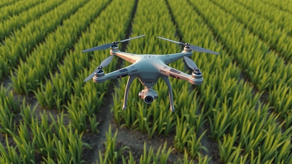
A systematic review published in Smart Agricultural Technology argues that small drones flying a few meters above flooded rice paddies could become a high-impact tool for rice breeding. The study synthesized 199 peer-reviewed papers from 2014 to 2026 that used unmanned aerial vehicle remote sensing for rice phenotyping, supported by a curated “Core-199” dataset compiled from 2,327 records screened from Scopus and Web of Science. The review positions UAVs between satellites and field work: satellites revisit on average every five days with 10–30 meter pixels, while manual surveys are labor-intensive and can’t easily repeat destructive sampling. UAVs offer centimeter-scale imagery on operator-controlled schedules, supporting sensors ranging from RGB cameras to hyperspectral imagers and laser scanners, with multirotor drones favored for hovering in small, fragmented paddies.
 xCruzo