Mixed-method study maps climate adaptation across seven northern Bangladesh
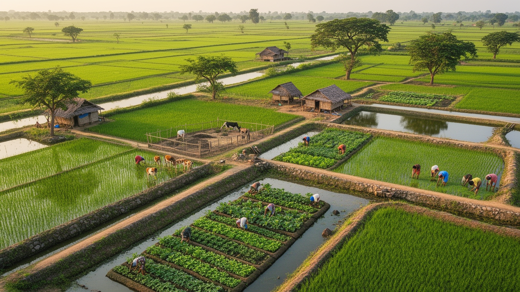
A convergent mixed-method study of farmers in seven hazard-prone sites across northern Bangladesh found that farmers’ reported crop-production ranges were generally higher than those they recalled for around 2010, even as climate-related hazards increasingly mapped to unstable planting schedules, crop losses, higher costs and disrupted livelihoods. The research separated technological intensification—better varieties, fertilizer, pesticides, irrigation, machinery and more intensive management—from the risks tied to floods, riverbank erosion, drought, heat, cold waves, storms and pest outbreaks. The study used a household survey of 385 farmers, seven focus groups, 21 key-informant interviews, and satellite-derived vegetation-cover data. Sites included Chilmari (Kurigram), Patnitala (Naogaon), Godagari (Rajshahi), Kishoreganj (Nilphamari), Sundarganj (Gaibandha), Kazipur (Sirajganj) and Kaliganj (Lalmonirhat).
 xCruzo