Scienmag: Latest Science and Health News
Thirty Years of Satellite Eyes Reveal an Indian City Swallowing Its
xCruzo Brief
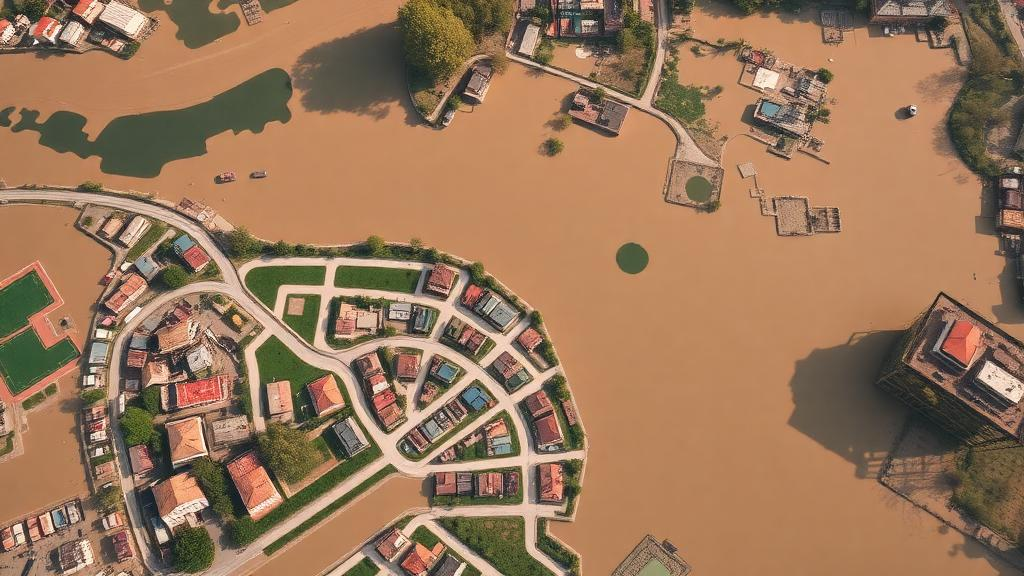
Satellite imagery spanning 1995 to 2025 is showing how Ara, the administrative headquarters of Bhojpur district in Bihar, India, has been losing wetlands and tree cover as built-up areas expand. A study published in Discover Geoscience used Landsat 5, Landsat 8, and Landsat 9 data and analyzed eight spectral indices to track vegetation, water, and development. Researchers Latifur Rahaman and Sadaf used scenes with under 10% cloud cover and compared pre-monsoon April–May conditions with post-monsoon October–November peaks. Mapping was backed by statistical analysis of more than 20,000 ~30m pixels per image, using correlation at the 95% confidence level.
xCruzo quick-read summary • Source: Scienmag: Latest Science and Health News • Read the full article for complete information.
 xCruzo
Poverty Taxes the Brain: Why Guatemalan Farmers Forget Climate-Smart

High school flag football: Wednesday and Thursday scores

Afiliados: Ciudad Real vuelve a romper su récord de empleo

Mhoni Vidente HOY: Horóscopos del VIERNES 2 de octubre 2026 y predicciones para cada signo zodiacal

Dónde y qué escuelas suspenderán clases presenciales este viernes por frente frío en México?

Doh! Dopey Dana Doesn't Know His Own Headliner

India, Pakistan and Australia drawn together in 2027 ODI World Cup Group A

The many reasons why Penticton Is calling this time of year