Explainable Deep Learning Maps Marine Biofouling Pixel by Pixel for Safer
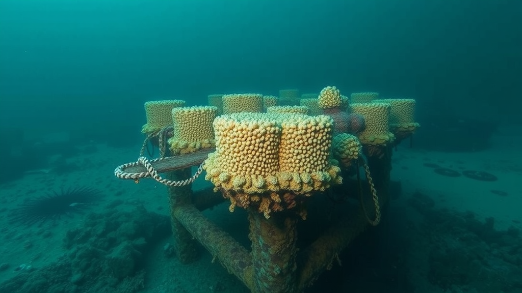
A study in the Journal of Big Data describes MRPixelDNet, an explainable deep-learning system designed to map marine biofouling at pixel level from underwater imagery. Researchers say biofouling—barnacles, algae, mussels and microbial films—can reduce hydrodynamic efficiency, contribute to corrosion, threaten structural integrity, and raise inspection costs, but automated analysis has struggled because underwater cameras produce murky, color-distorted data. Existing methods have often classified images rather than pinpointing where fouling occurs. The new approach combines underwater image preprocessing, synthetic data augmentation, a deep network architecture focused on mutual reinforcement between pixels, and an explainable interpretation layer. Conducted by researchers at Lincoln University College in Malaysia and the Women Institute of Technology in India, it targets accurate, robust and interpretable segmentation without trading quality for stability.
 xCruzo